RL in construction drawings stands for Reduced Level. It is a reference to the vertical height of a specific point on a site or structure relative to a chosen reference point, often called a benchmark or datum. RL values tell you exactly how high or low something is compared to that fixed reference. This ensures that the design and actual construction match precisely in terms of levels, slopes, and overall alignment.
How RL Is Used in Construction Drawings
You will see RLs marked throughout different types of construction drawings. They can indicate:
-
Ground levels before and after excavation
-
Finished floor levels
-
Foundation depths
-
Roof heights
-
Drainage and road levels
For example, if a plan shows “RL 45.20,” it means that the point is at 45.20 meters (or feet, depending on the unit system used) above the reference datum. This allows all stakeholders on-site to work with the same elevation standards.
RL in Practical Application
In practical use, RL plays a major role at different stages of construction:
-
Setting out a building: RL ensures that the structure starts at the correct height in relation to natural ground.
-
Excavation works: RLs show how deep to dig and help avoid over-excavation or under-excavation.
-
Multi-story construction: RL ensures consistent height for each floor.
-
Infrastructure: Roads, bridges, and drainage systems all rely heavily on RL for accurate slopes and water flow management.
Tip
Always compare RLs for different parts of the site to understand slopes, drainage flow, and relative building heights. Misreading RLs can lead to costly mistakes in leveling and water management.
How RL Is Represented in Drawings
RL is usually shown with a clear notation, often written next to a symbol or directly on the plan. You might see it expressed as “RL 55.30,” “+55.30,” or sometimes simply “55.30” if the drawing makes the datum clear. RLs can be placed in:
-
Site plans to show natural ground and proposed levels
-
Floor plans to mark finished floor elevations
-
Sections to illustrate vertical differences
Example Table of RL Notations in a Drawing
| Location | RL Value | Description |
|---|---|---|
| Natural ground level | 100.00 | Original site level (datum = 100) |
| Foundation depth | 97.50 | Excavation down to this level |
| Finished ground floor | 100.50 | Elevated slightly above datum |
| Roof level | 106.00 | Top of structure |
Difference Between RL and Other Measurements
It is important to distinguish RL from other related levels:
-
RL vs. Floor Level (FL): RL is a general elevation reference, while FL specifically refers to the finished height of a floor.
-
RL vs. Natural Ground Level (NGL): NGL is the level of the site before any construction or excavation. RL may be used to show how the NGL relates to the planned works.
-
RL vs. Height/Dimensions: Dimensions are relative measurements (like wall height), while RL shows absolute height above the reference datum.
Units and Measurement Systems
RL values are typically expressed in meters in Europe, Asia, and many other regions. In the United States and some other countries, RL values are commonly given in feet. Modern architectural design software such as Plan7Architect allows you to work in both systems, making it suitable for international use and ensuring clarity for projects where professionals from different regions collaborate.
Tips for Reading RL on Plans
-
Always identify the reference datum or benchmark at the start.
-
Check if the RLs refer to natural ground, finished levels, or another reference.
-
Compare multiple RLs to see differences in elevation across the drawing.
-
Pay attention to notes or symbols that might indicate slopes or gradients.
Why RL Matters for Builders and Designers
Using RL correctly helps avoid costly and time-consuming errors. It ensures that:
-
Floors align evenly across the structure
-
Excavation is accurate and efficient
-
Drainage systems function properly
-
Multi-level structures maintain consistent vertical spacing
-
Building codes and site requirements are met
Create Professional Floor Plans with Plan7Architect
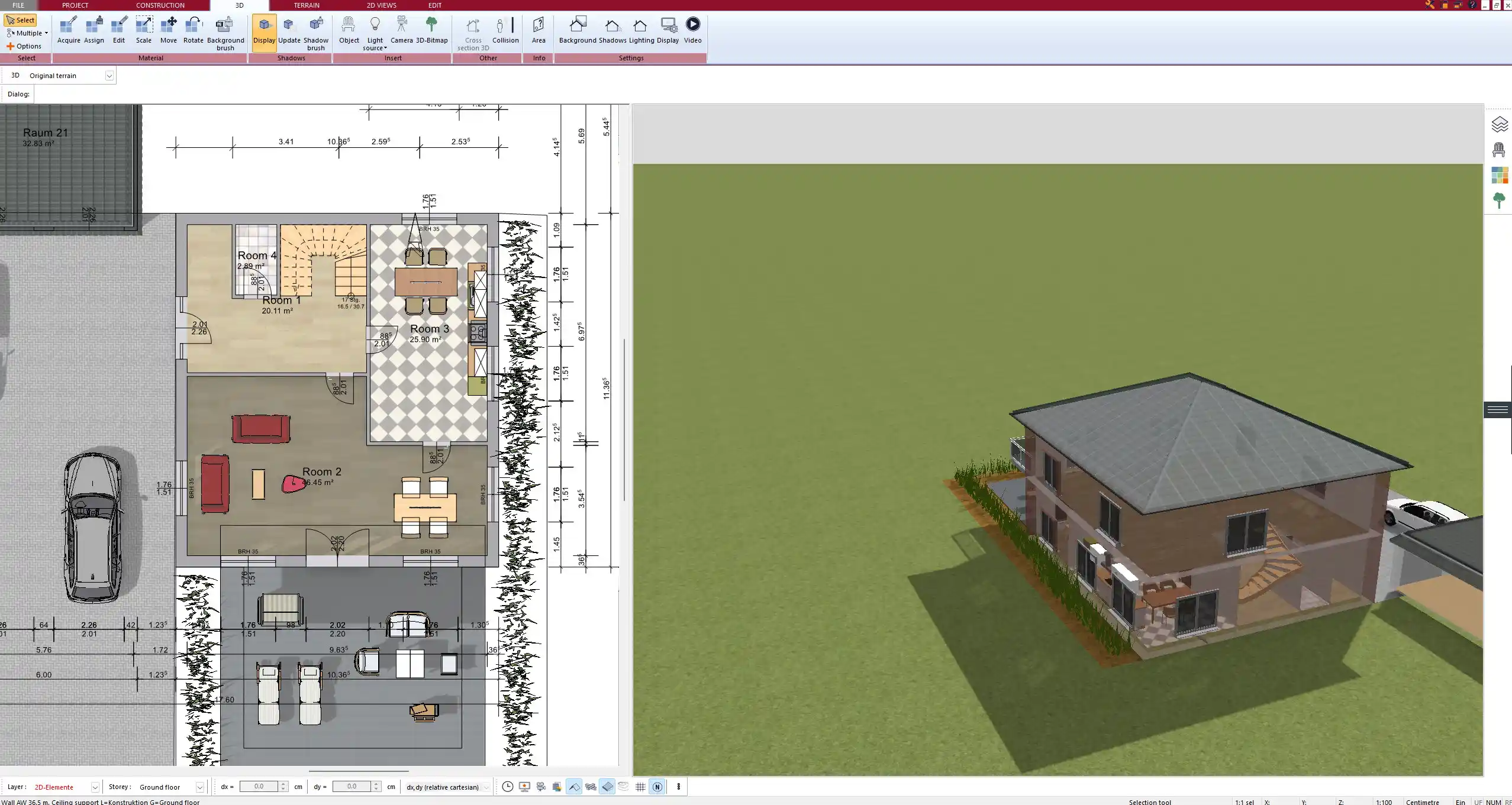
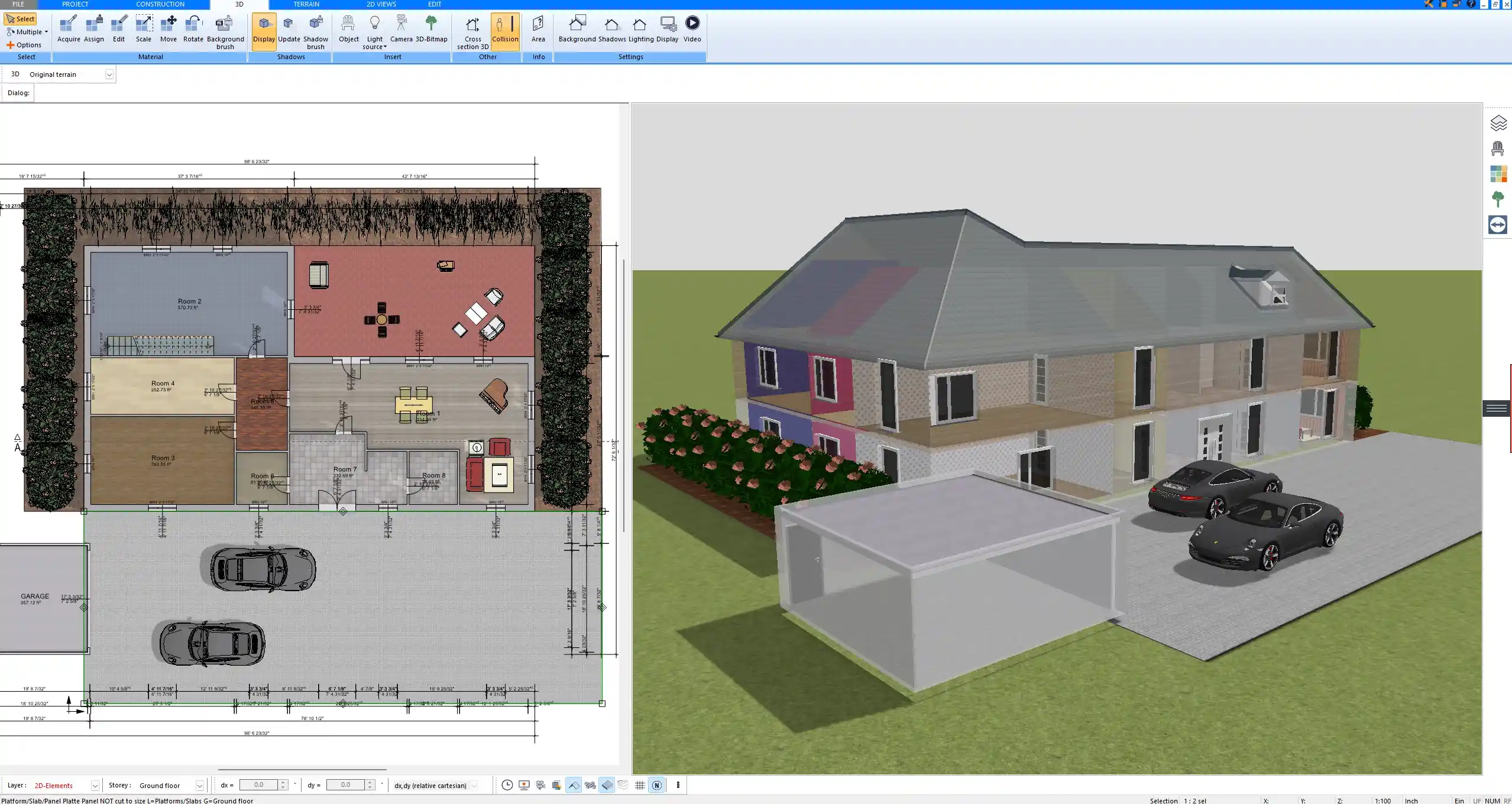
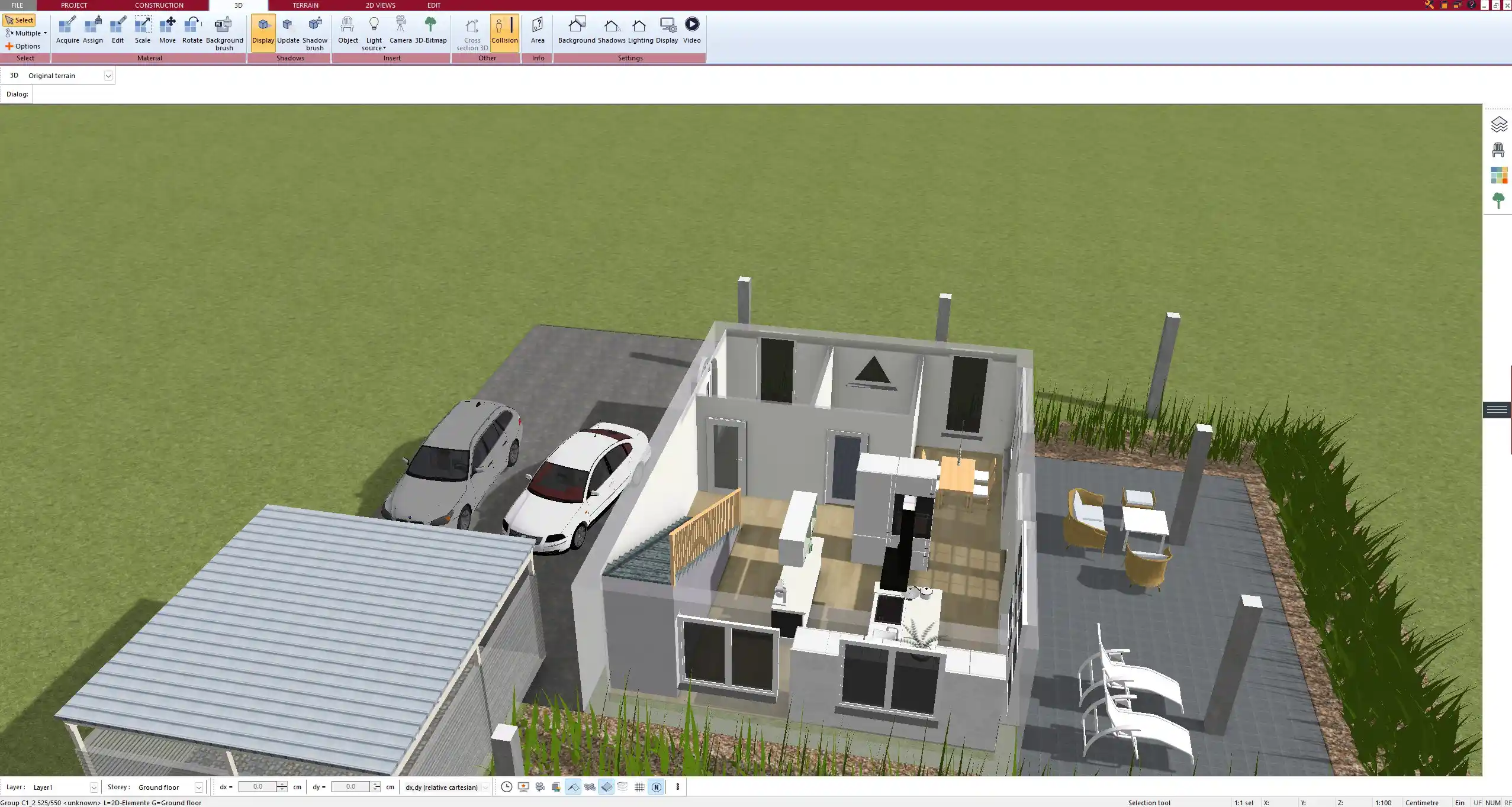
With Plan7Architect, you can easily create professional construction drawings that include RL values, floor levels, ground levels, and more. The software allows you to switch between European and American units, so you can plan accurately no matter where you are building. If you want to design floor plans, elevations, or site plans with correct RL references and visualize them instantly in 3D, Plan7Architect is the ideal tool for you. Customers benefit from a 14-day right of withdrawal, meaning you can cancel your purchase easily by email if you change your mind. This replaces the need for a trial version and gives you full confidence when buying.
Plan your project with Plan7Architect

Plan7Architect Pro 5 for $109.99
You don’t need any prior experience because the software has been specifically designed for beginners. The planning process is carried out in 5 simple steps:
1. Draw Walls

2. Windows & Doors

3. Floors & Roof

4. Textures & 3D Objects

5. Plan for the Building Permit

6. Export the Floor Plan as a 3D Model for Twinmotion

- – Compliant with international construction standards
- – Usable on 3 PCs simultaneously
- – Option for consultation with an architect
- – Comprehensive user manual
- – Regular updates
- – Video tutorials
- – Millions of 3D objects available
Why Thousands of Builders Prefer Plan7Architect
Why choose Plan7Architect over other home design tools?