When planning a building, landscaping, or infrastructure project, realistic terrain modeling is crucial. Plan7Architect provides a comprehensive 3D terrain modeling feature that allows you to create, modify, and visualize landscapes with precision. Whether you need to adjust elevation levels, plan sloped areas, or integrate buildings into natural surroundings, the software offers intuitive tools for detailed terrain adjustments.
With Plan7Architect, you can:
- Create terrain manually using contour lines or height points.
- Import elevation data from surveys or external sources.
- Modify terrain elevations to fit construction needs.
- Visualize topography in 3D for better planning and decision-making.
- Adapt buildings, foundations, and driveways to match real-world conditions.
Plan7Architect supports both metric (meters, centimeters) and imperial (feet, inches) units, allowing seamless switching between measurement systems. This makes it an ideal choice for users worldwide.
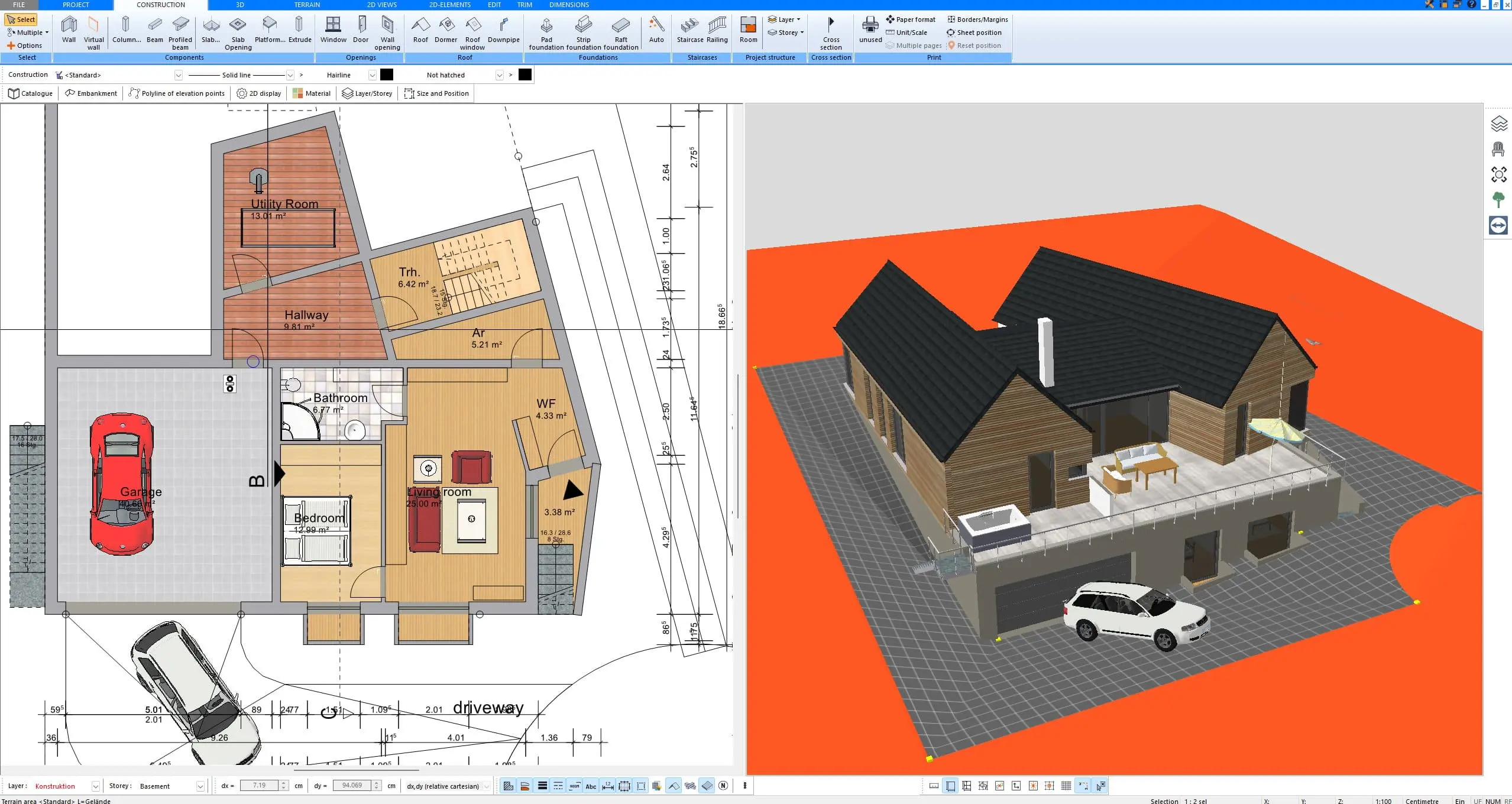
Key Features of Terrain Modeling in Plan7Architect
Import and Create Terrain Models
Terrain modeling in Plan7Architect starts with either manual creation or importing terrain data. Users can import external data such as surveyed elevation points, GIS files, or GPS terrain scans, ensuring precise real-world replication.
Alternatively, terrain can be created manually by setting height points and defining contour lines. This is useful when working without pre-existing data and provides full control over the shape of the landscape.
Ways to create terrain in Plan7Architect:
- Manual Entry: Set elevation points and contour lines to define slopes and landforms.
- Import External Data: Upload height maps, survey files, or GIS data for realistic terrain modeling.
- Automatic Generation: Convert flat surfaces into dynamic landscapes by adjusting heights.
Tip: If you are designing on a sloped site, start by importing real elevation data to ensure your model accurately reflects the actual terrain.
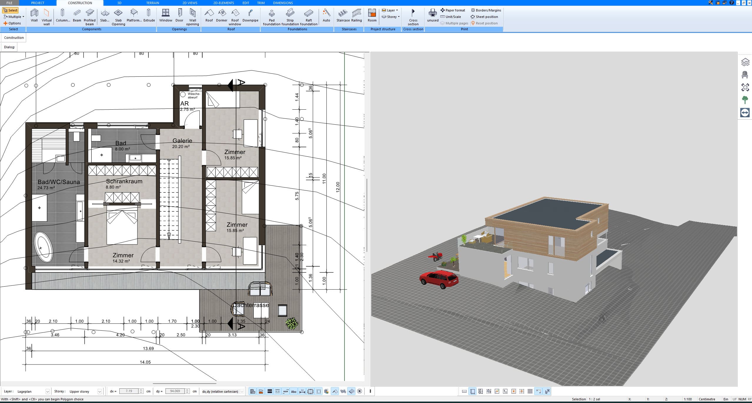


Editing and Modifying Terrain
Once a terrain model is created, it can be sculpted and modified using various tools. Plan7Architect allows you to adjust the landscape dynamically to fit your construction and design requirements.
Key modification options include:
- Raising and lowering specific areas to match elevation changes.
- Creating flat surfaces for construction sites, driveways, or patios.
- Defining slopes and inclines for proper water drainage or accessibility.
- Carving out terrain for basements, underground garages, or retaining walls.
Integration with Buildings & Outdoor Structures
One of the major benefits of Plan7Architect’s terrain modeling is the ability to seamlessly integrate buildings and outdoor structures into the landscape. Unlike basic 2D planners, the software ensures that foundations, driveways, and terraces follow the natural topography.
Features for building integration:
- Automatic foundation adaptation: Adjusts building base to match ground elevation.
- Sloped driveway & access roads: Easily create realistic paths on hilly terrain.
- Custom retaining walls & terraces: Modify terrain to prevent soil erosion and maintain stability.
This feature is particularly useful for projects in mountainous regions, where building placement must accommodate steep gradients.
Realistic Visualization
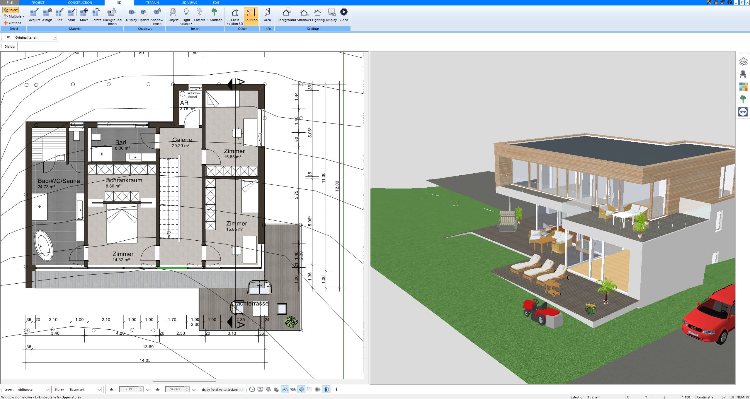
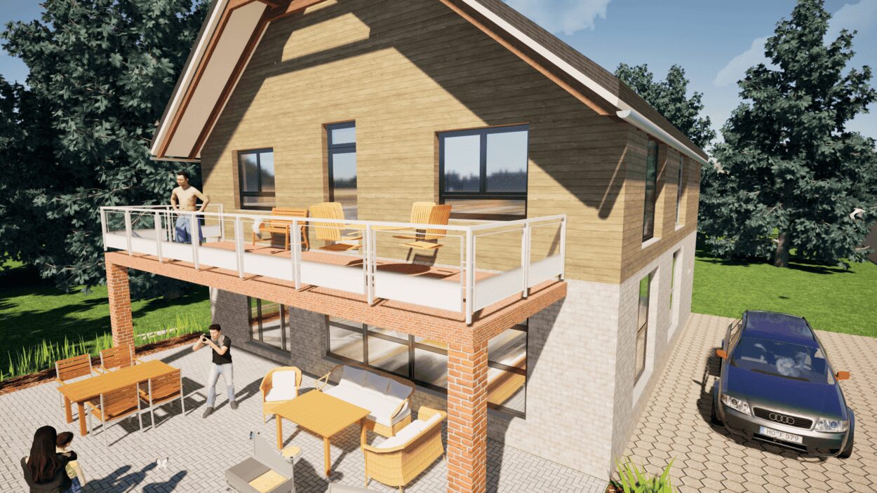
A major advantage of Plan7Architect is the realistic 3D visualization of landscapes. The software renders terrain with shadows, textures, and environmental elements to simulate real-world conditions. This makes it easier to evaluate design choices and detect potential issues before construction begins.
Visualization options include:
- 3D terrain modeling with textures for soil, grass, rocks, and water.
- Lighting and shadow effects to simulate different times of day.
- Camera perspectives to explore the model from different angles.
Example: If you are designing a house on a sloped plot, Plan7Architect enables you to preview how the structure will sit within the landscape, how shadows will be cast, and how the terrain interacts with paths, stairs, and retaining walls.


Applications – Who Needs 3D Terrain Modeling?
Private Builders
For homeowners planning to build on uneven terrain, Plan7Architect provides tools to adjust building foundations, gardens, and driveways accordingly. This prevents costly mistakes such as improper slope drainage or structural misalignment.
Landscape Designers
Professionals designing gardens, parks, and green spaces benefit from the ability to shape landforms, create hills, ponds, and realistic landscapes that blend naturally with surrounding areas.
Architects & Engineers
Architects use terrain modeling to integrate buildings with their environment, ensuring stability, proper elevation adjustments, and compliance with site conditions.
Urban Planners
Plan7Architect supports large-scale infrastructure and city planning, making it useful for mapping roads, highways, and public spaces within realistic topography.
Measurement Units & Compatibility
Plan7Architect is designed for global use, supporting both metric and imperial measurement systems. Users can seamlessly switch between meters, centimeters, feet, and inches within the software’s settings.
Measurement System Features:
- Full support for both unit types (no need for manual conversions).
- Direct input of elevation data in preferred units.
- Compatible with GIS and survey files in multiple formats.
Whether you are working with American or European standards, the software ensures precision and compatibility.
Conclusion – Why Choose Plan7Architect?
Plan7Architect is a powerful yet user-friendly solution for 3D terrain modeling. Whether you are designing a private home, a commercial property, or an entire landscape, the software offers intuitive tools for shaping terrain with precision.
Key advantages of Plan7Architect for terrain modeling:
? Accurate topography creation using manual input or imported survey data.
? Dynamic terrain modifications for slopes, elevations, and flat areas.
? Realistic visualization with textures, lighting, and environmental details.
? Full measurement unit support for both metric and imperial standards.
? Seamless building integration for realistic site adaptation.
Are you ready to start modeling your terrain in 3D? With Plan7Architect, you can design landscapes with ease and ensure that your buildings fit perfectly into their environment. Try it now and experience professional terrain modeling with intuitive 3D tools.
Plan your project with Plan7Architect
Plan7Architect Pro 5 for $109.99
You don’t need any prior experience because the software has been specifically designed for beginners. The planning process is carried out in 5 simple steps:
1. Draw Walls
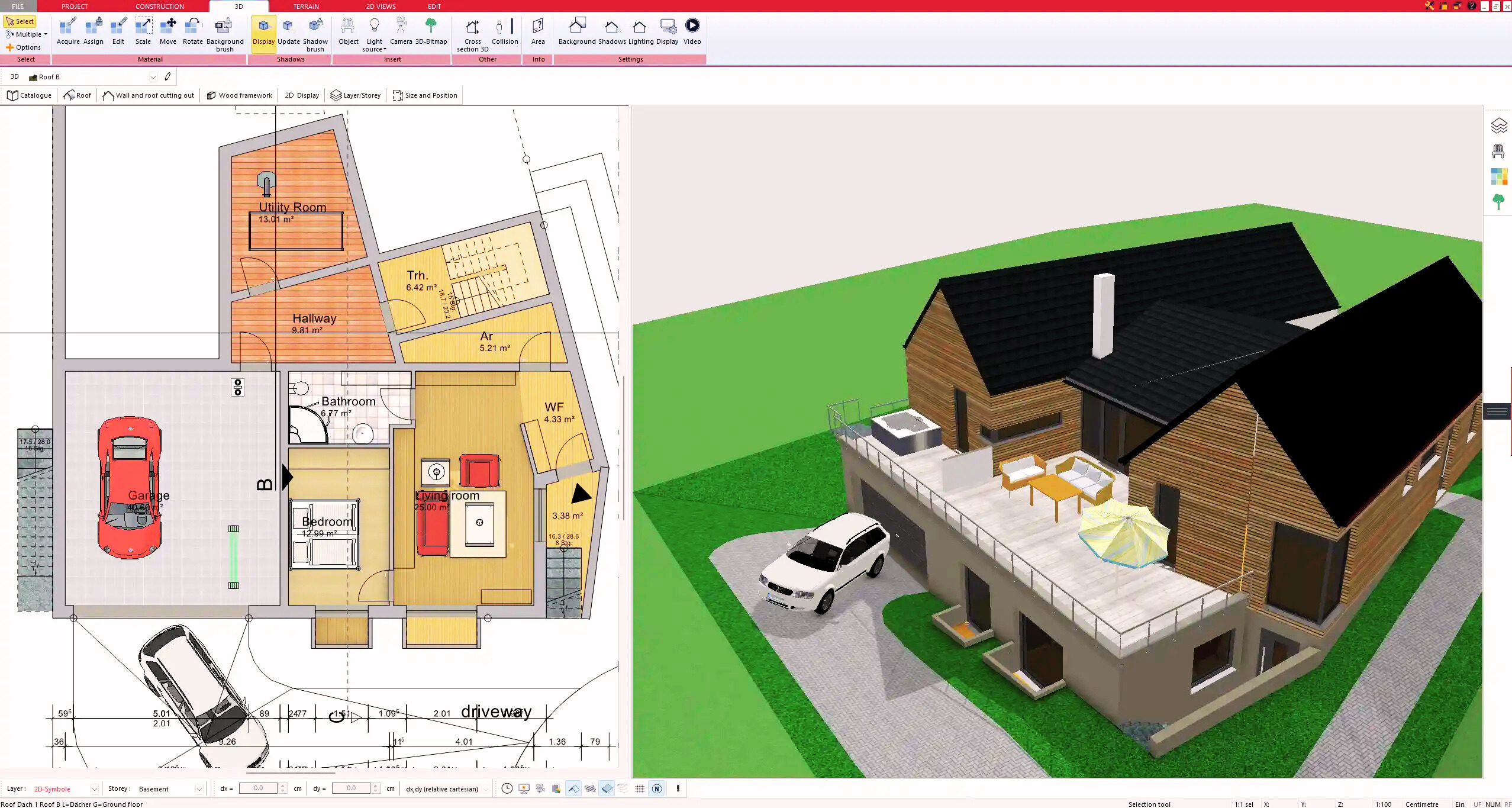


2. Windows & Doors
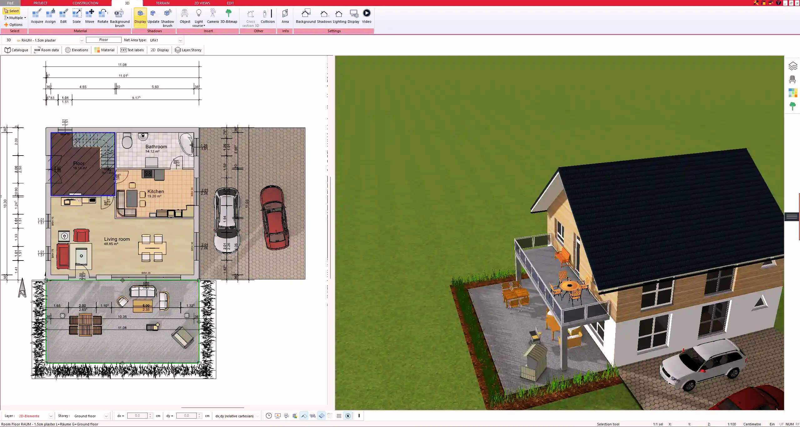


3. Floors & Roof
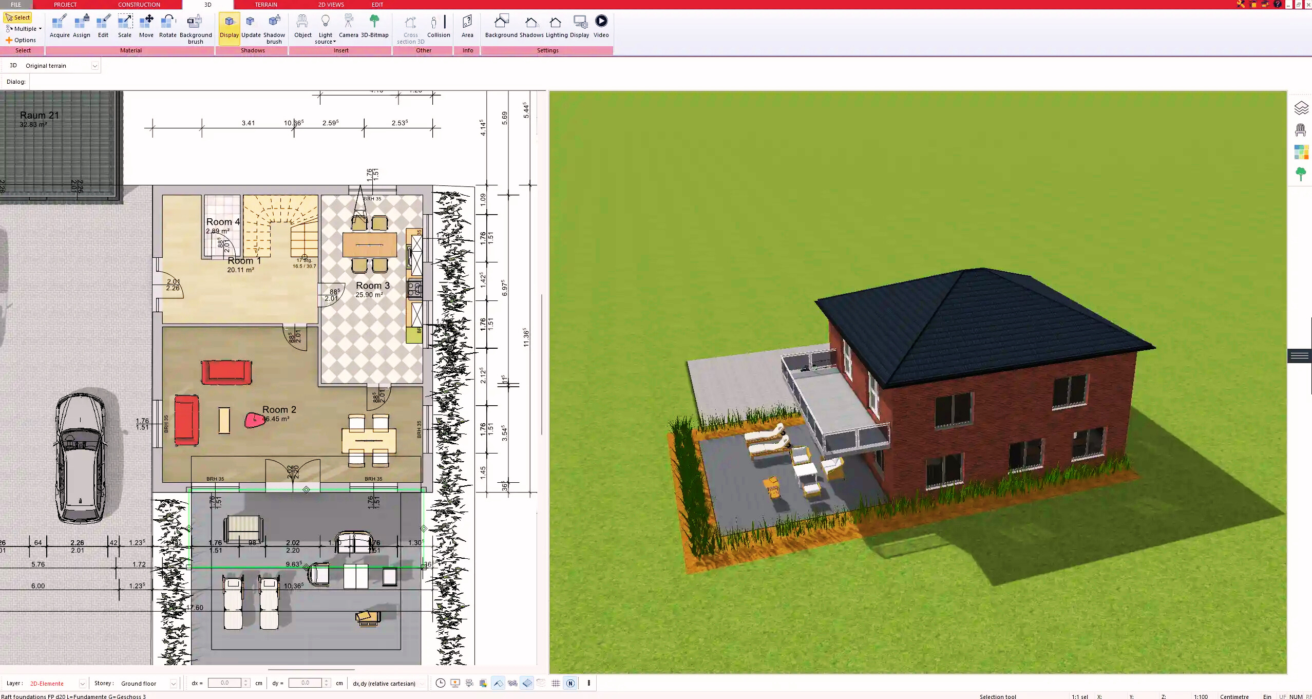


4. Textures & 3D Objects
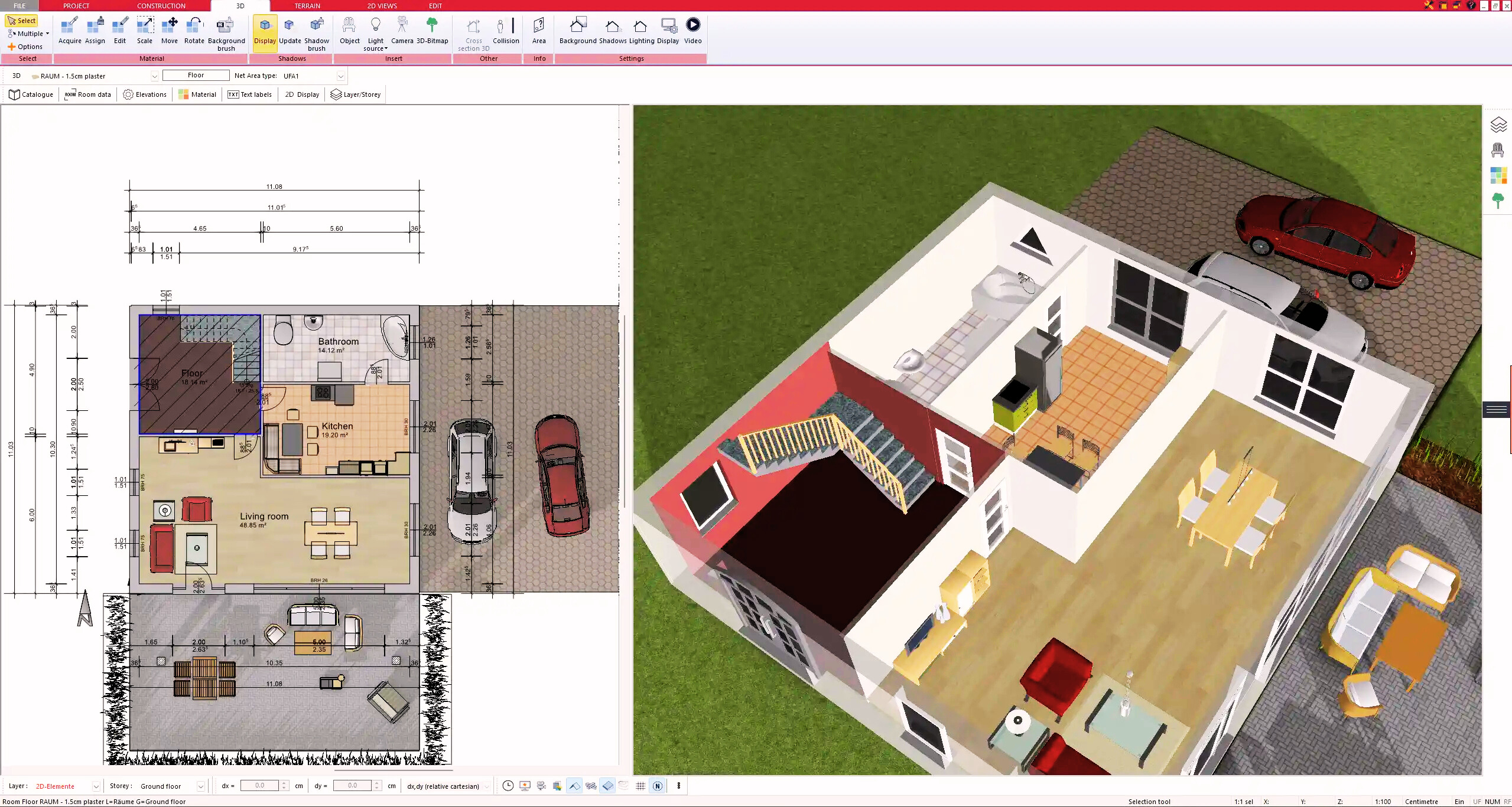


5. Plan for the Building Permit
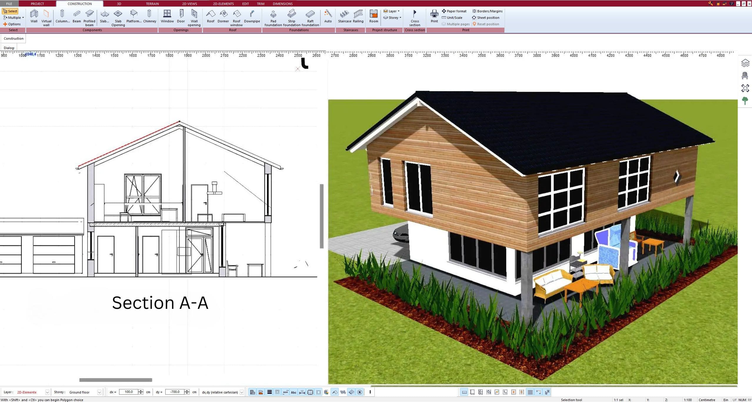


6. Export the Floor Plan as a 3D Model for Twinmotion


- – Compliant with international construction standards
- – Usable on 3 PCs simultaneously
- – Option for consultation with an architect
- – Comprehensive user manual
- – Regular updates
- – Video tutorials
- – Millions of 3D objects available


